Cancelli-Nova (eng)
Da Mydewiki.
| Layer name | Cancelli-Nova | |
| Tag | Soil Moisture | |
| Folder | / Layers / observation / stations / maps | |
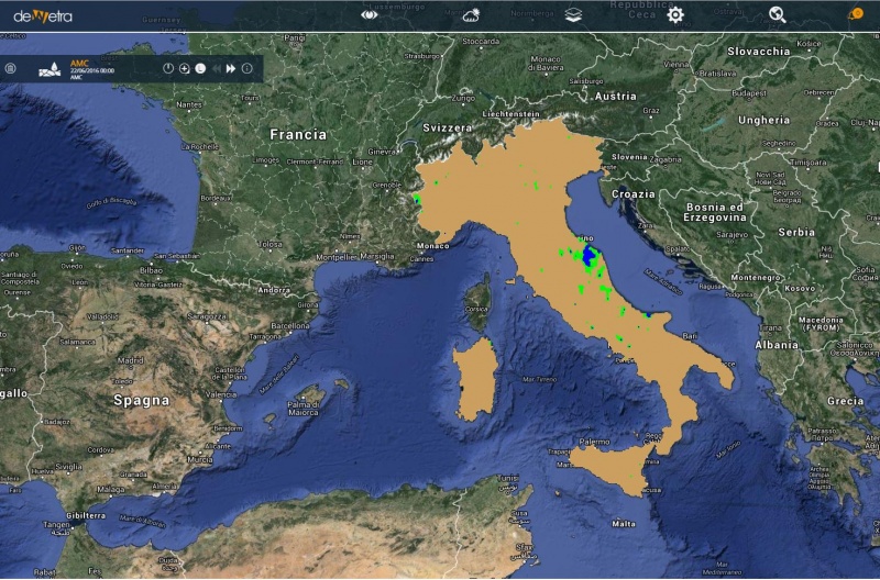
| Description | The map displayed by this layer is the index of Cancelli-Nova (Cancelli and Nova, 1985): in every point of the domain, the precipitation accumulated in the previous 15 days is compared with a reference threshold. this methodology defines a threshold for each warning area, then the 15-day accumulated precipitation is compared with the corresponding threshold. If the accumulated precipitation exceeds the threshold the soil is considered as saturated. | |
| Screenshot | ||
| Properties | ||
| Available variables | Soil saturation level | |
| Available accumulations | ||
| Available interpolation algorithms | ||
| Available filters | ||
| Spatial aggregations | Municipalities, Provinces, Regions, Meteoclimatic Vigilance Areas, Warning Areas, Catchments |

