National Radar Network - SRI (eng): differenze tra le versioni
Da Mydewiki.
(Creata pagina con " [Home] - [Observations] <br/> {| class="wikitable" |- |style="background-color: orange;" |Layer name |style="background-color...") |
(Nessuna differenza)
|
Versione attuale delle 12:21, 21 nov 2016
| Layer name | Radar National Network - SRI | |
| Tag | Rain | |
| Folder | / Layers / observation / radar | |
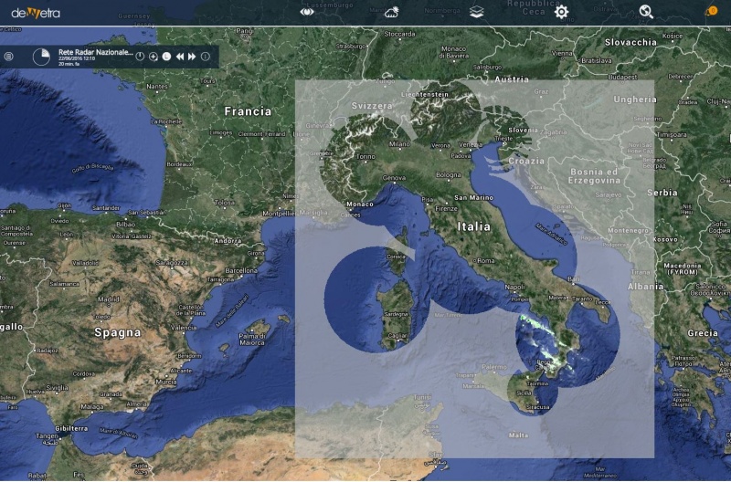
| Description | The SRI variable is the radar-detected precipitation intensity provided by the composite of the Italian National Radar Network. The data measured by the weather radars composing the national radar network are processed and mosaicked at DPC-CFC. The variable displayed by default is the last available image processed by the system. The SRI maps are updated every 10 minutes and users can load each map within the time range. | |
| Screenshot | ||
| Properties | ||
| Available variables | Rainfall intensity | |
| Available accumulations | ||
| Available interpolation algorithms | ||
| Available filters | Any threshold between 10 and 200mm/hour | |
| Spatial aggregations |

